I recently went on a trip with my family up to the north of Scotland. Here are some routes and pictures.
Kingussie
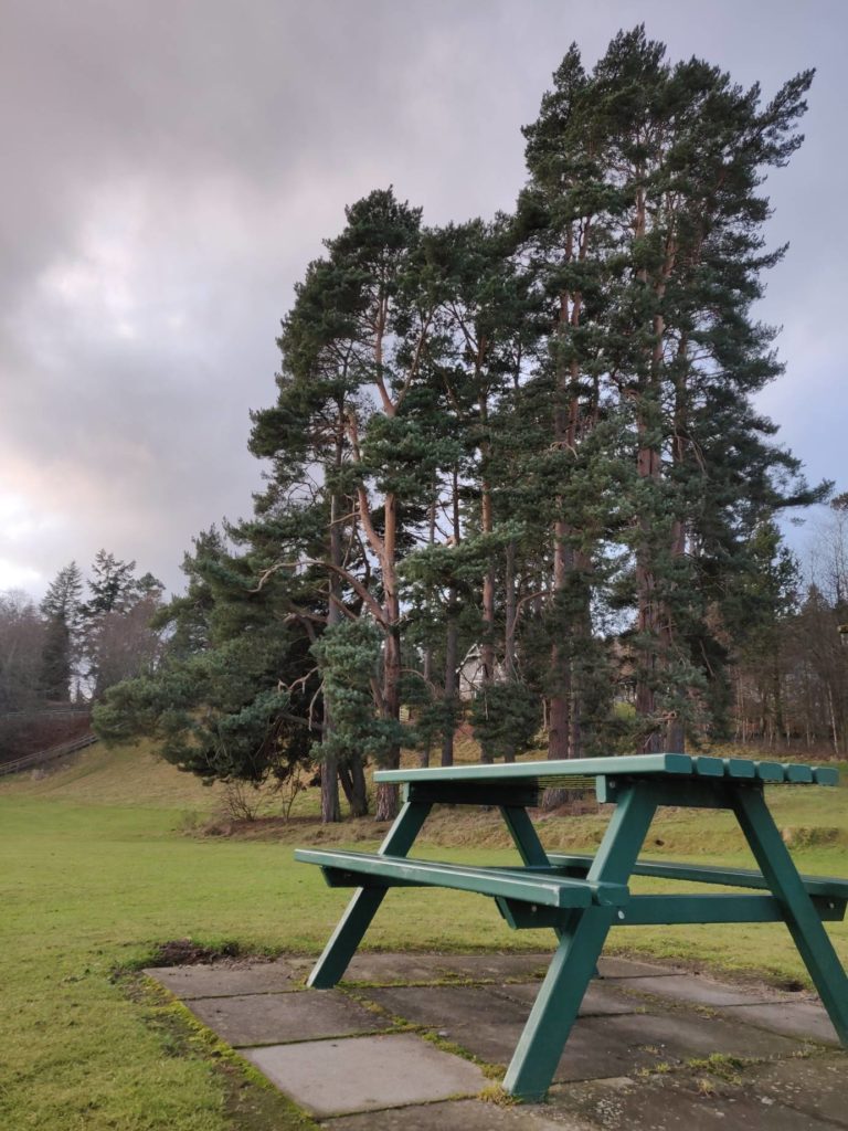
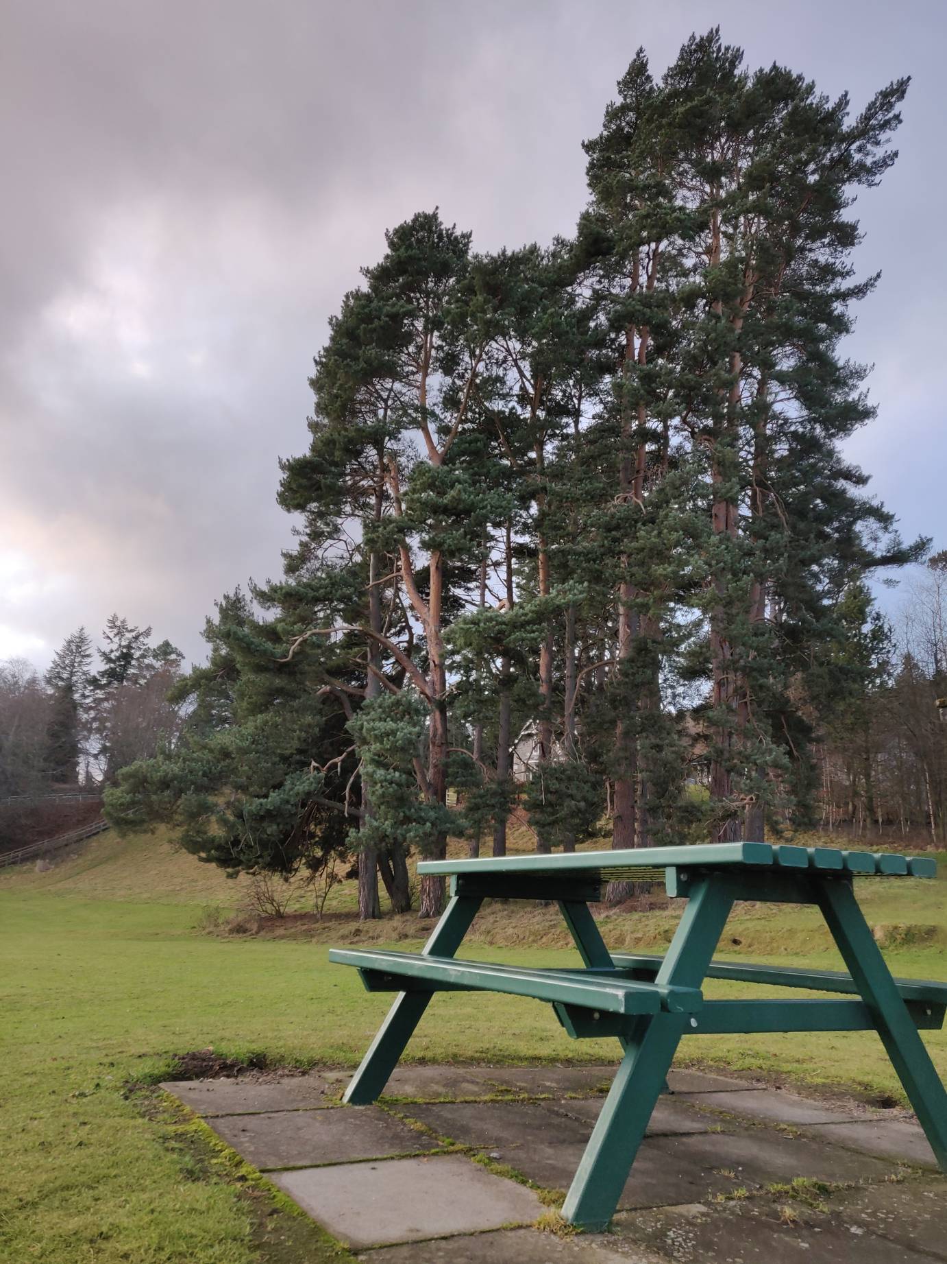
Starting from Fife, it takes about 2 hours to drive up the A9 via Perth, to reach Kingussie. There is good car parking at the Kingussie Medical Practice, just off the High Street before the Gynack burn bridge.
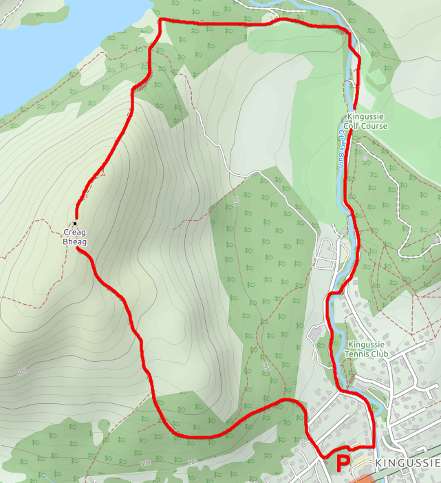
After this, we went for a walk up a mountain behind Kingussie. The path is well signposted and easy to find, and there are information boards at the car park with many maps of other routes you can take. A lot of them are marked as mountain bike accessible, if that’s something you enjoy.
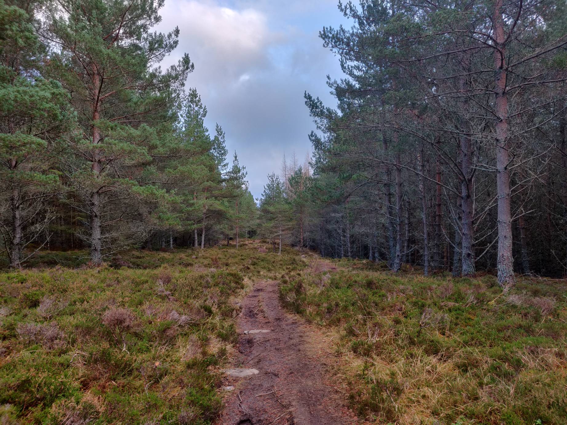
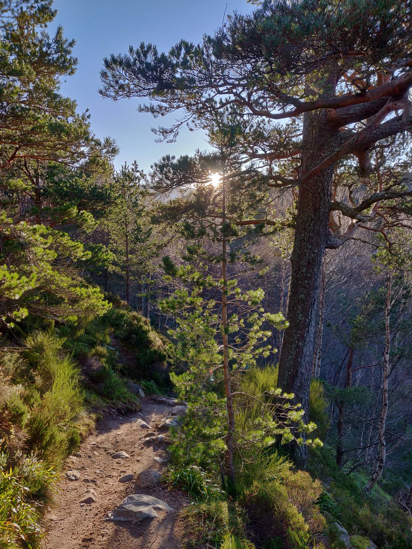
The route I took went up Taits Brae (west of the car park) and through the woods up the hill. Unfortunately, at this time of year, this path is incredibly wet and muddy.
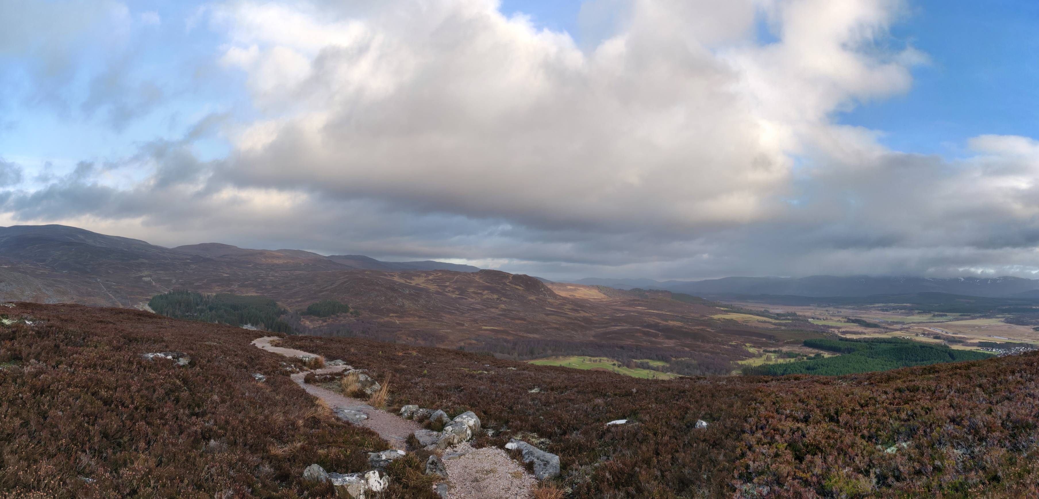
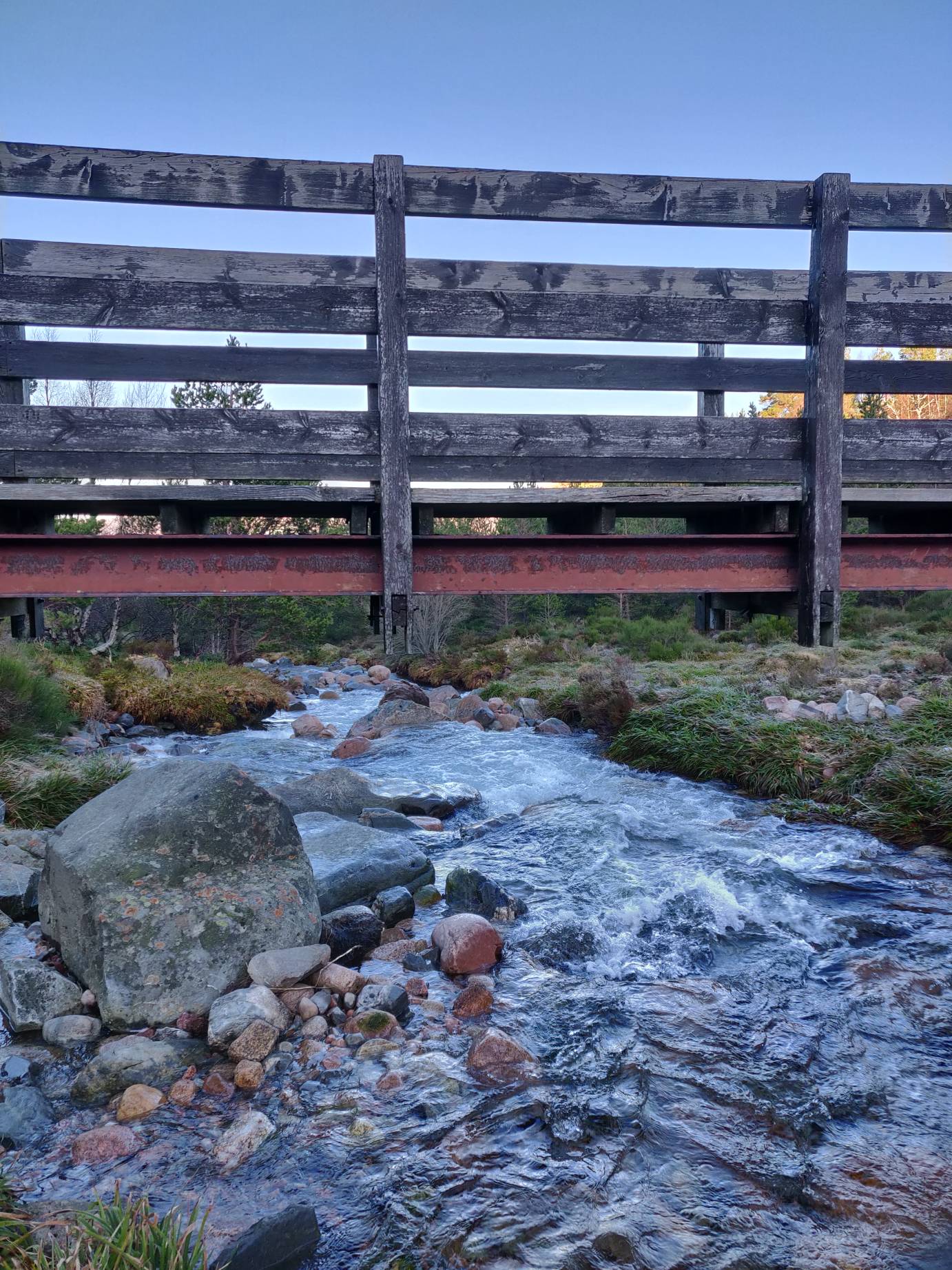
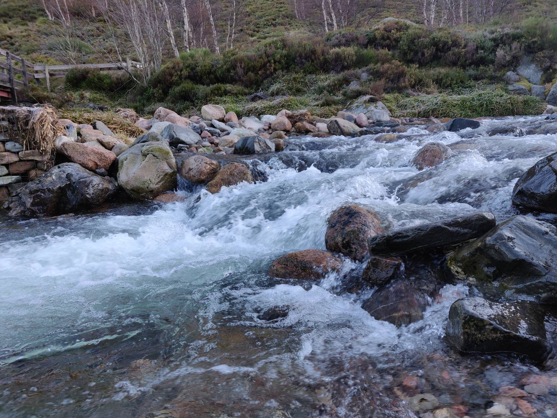
It took me about 25 minutes to walk through the woods before getting past the treeline to the base of the mountain. The walk up Creag Bheag is pretty easy, and the path is mostly well maintained. Going up from the south, the path does have sections covered in wet rock (there is a little stream) so if it’s cold you would need to be aware of ice.
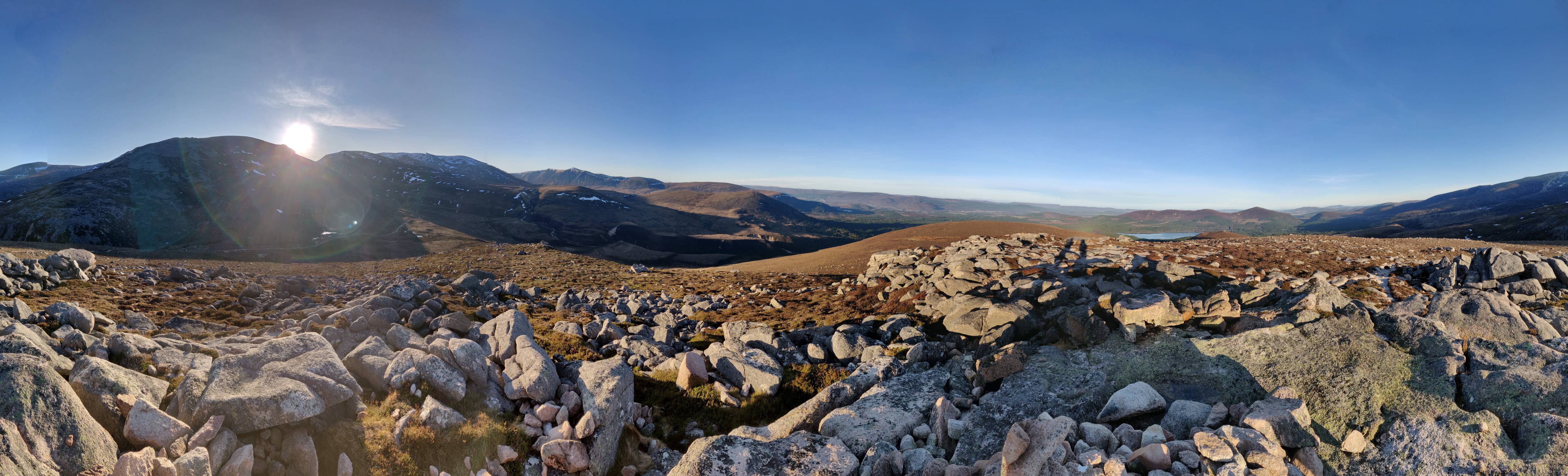
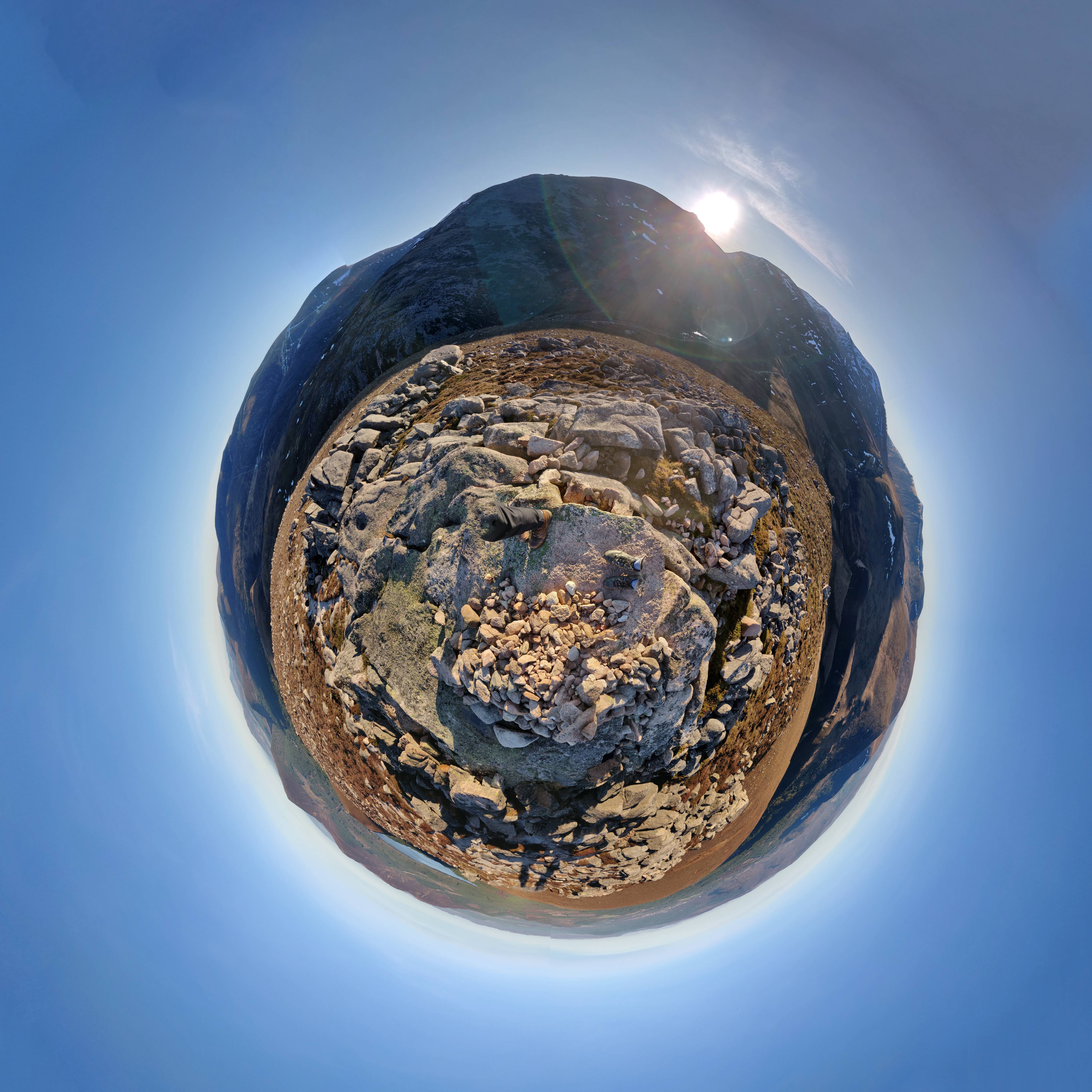
After another 15 minutes I reached the summit (540m asl), and the views from there are amazing (weather permitting). Kingussie visible to the southeast, and mountains everywhere else.
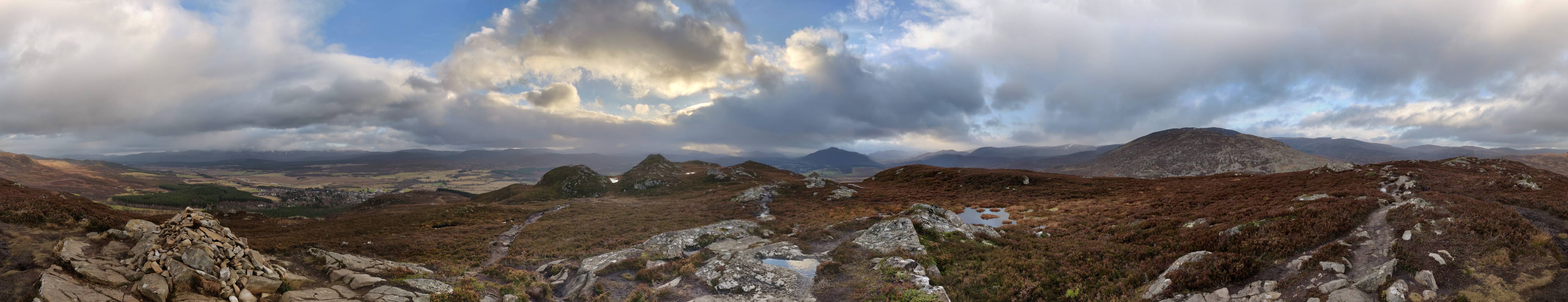
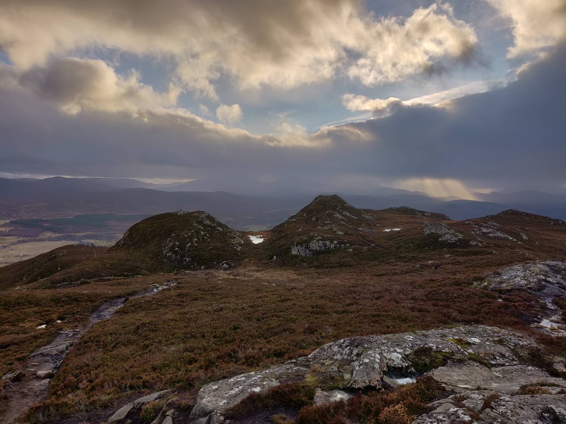
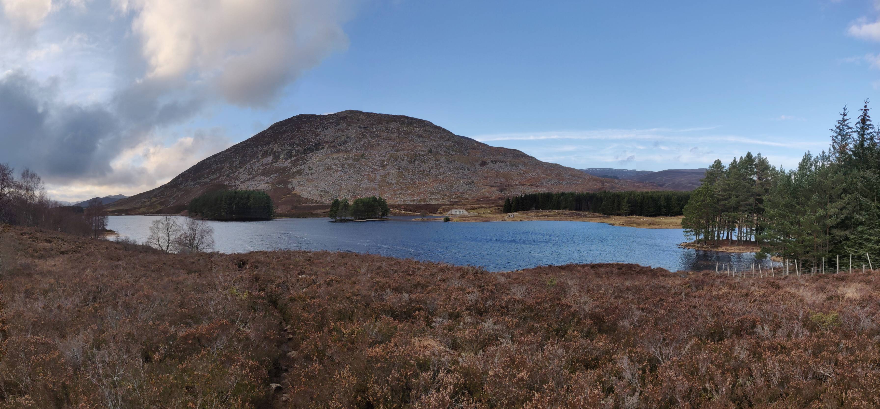
The path down heads northeast, and heads past Loch Gynack. There are steep parts which have stairs made from rocks, but these are not difficult to navigate. If the weather is good, the views of Loch Gynack are impressive.
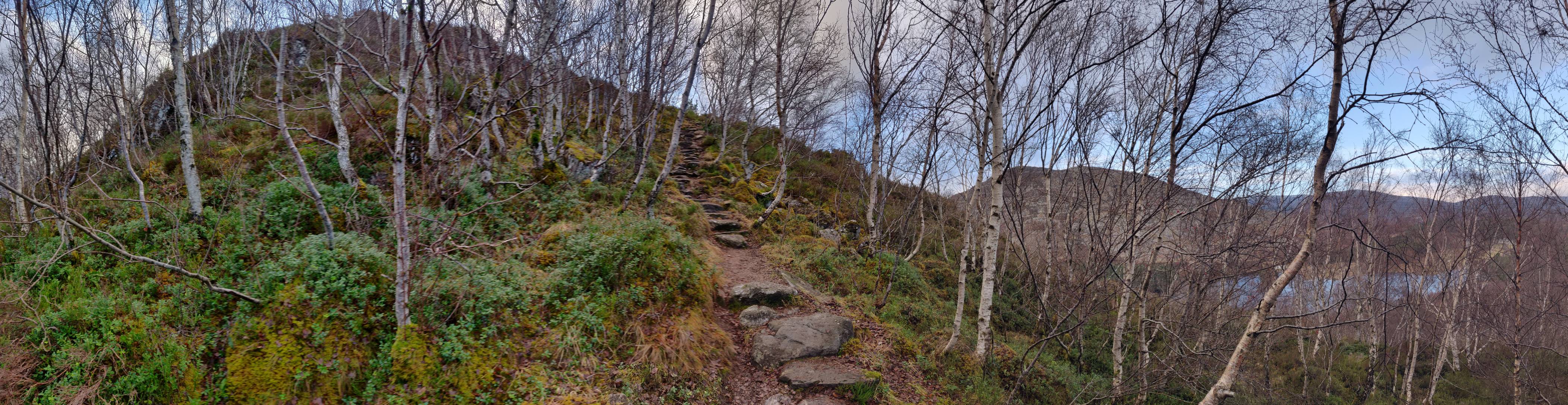
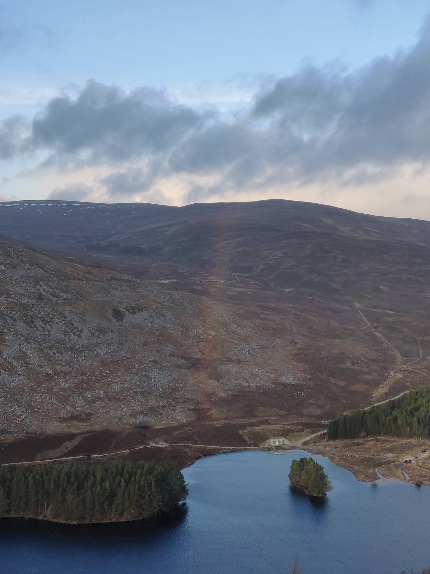

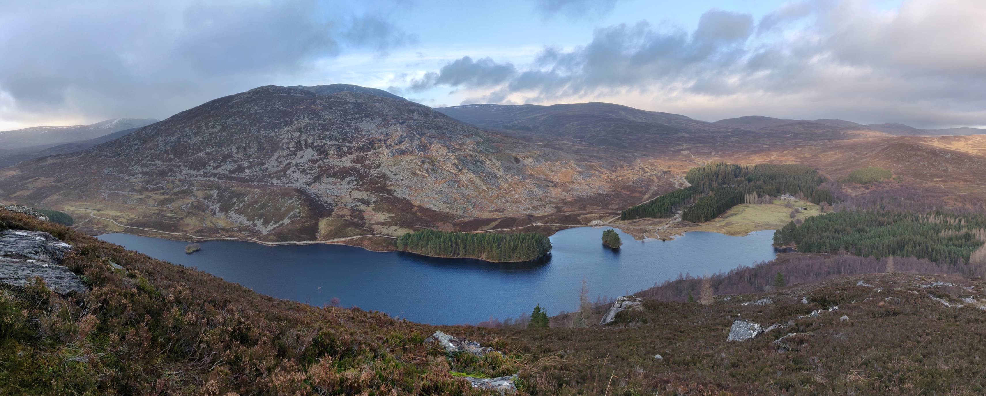
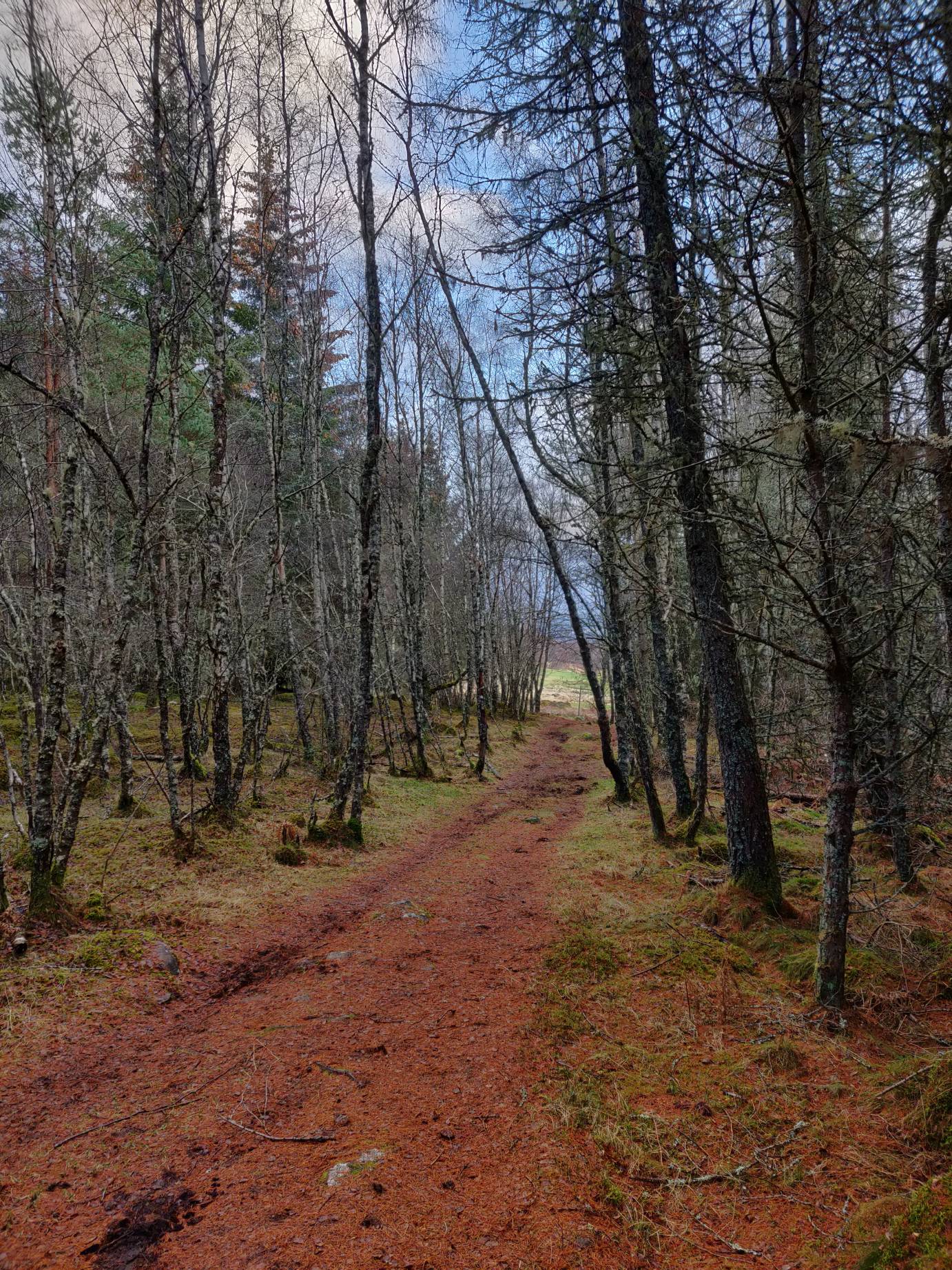
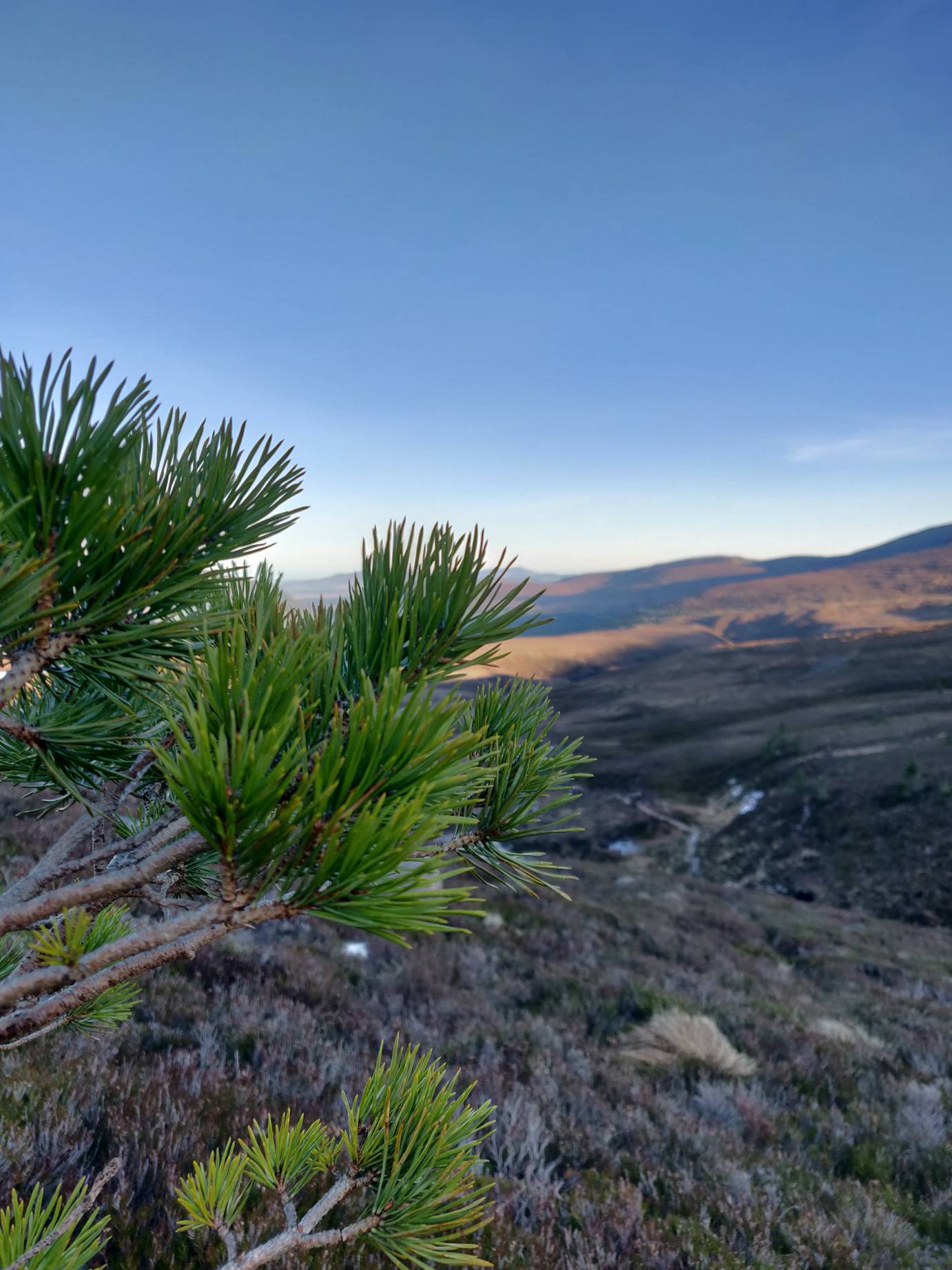
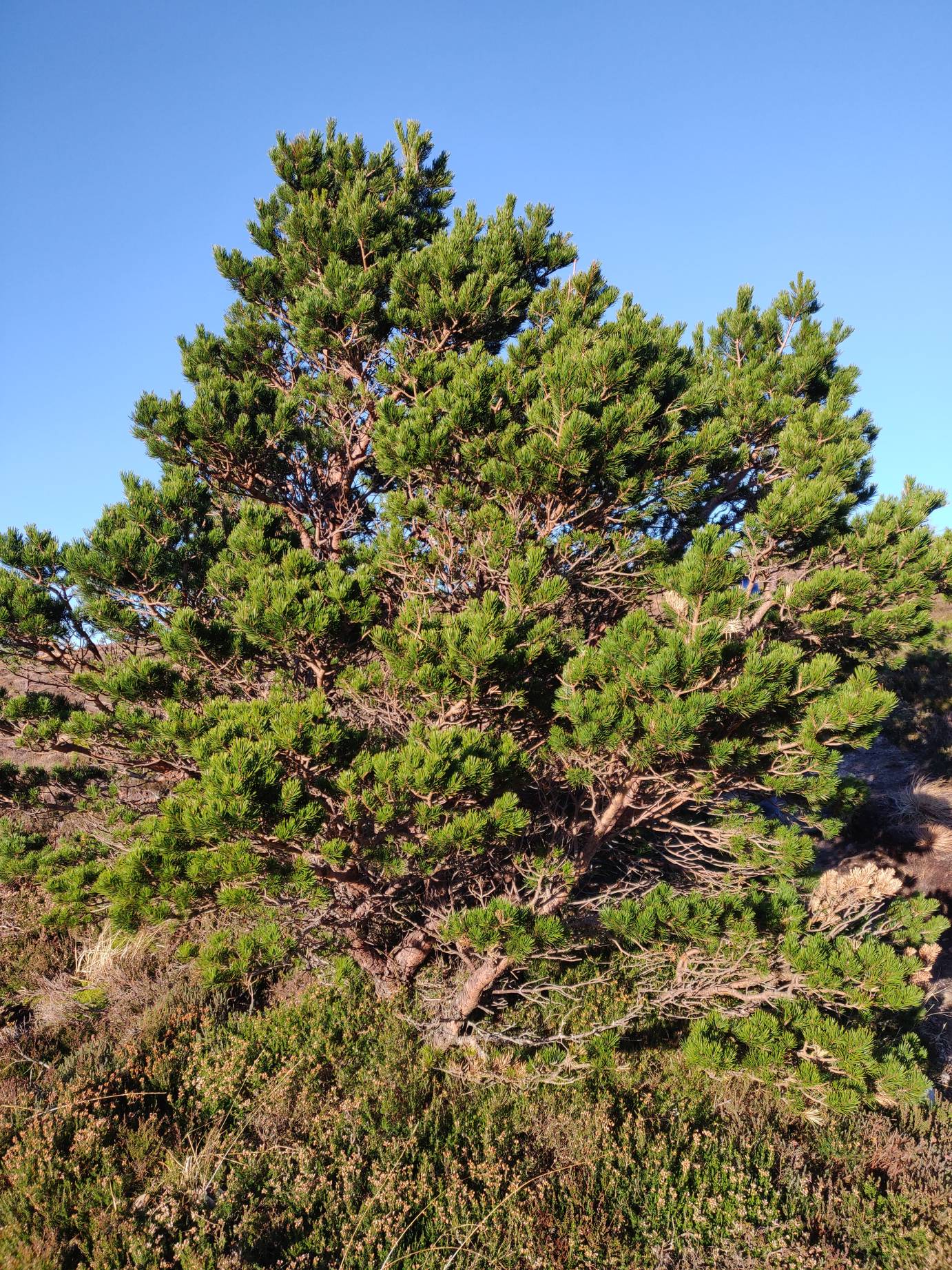
From the base, near the loch, I continued along the Golf Course circular route. Again, it is well sign posted. This follows the Gynack Burn down through the golf course and into town. The path heads through many native scottish woods, with scots pine and silver birch. It’s a nice contrast to the bare heath of the mountains around.


Overall it took me, a fast walker, about 1.5 hours to walk the whole route. If you’re heading up this way, I’d recommend it. There are plenty of longer routes as well in the nearby area.
Chalamain Gap
The next day, we set off from Aviemore up Cairn Gorm. Initially we had planned to park nearby and walk up the Allt Mor route, however due to a landslip, it was closed. Instead, we walked up the other side of the valley, to Creag a Chalamain.
This route starts about a 15 minute drive away from Aviemore.
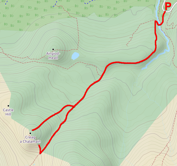
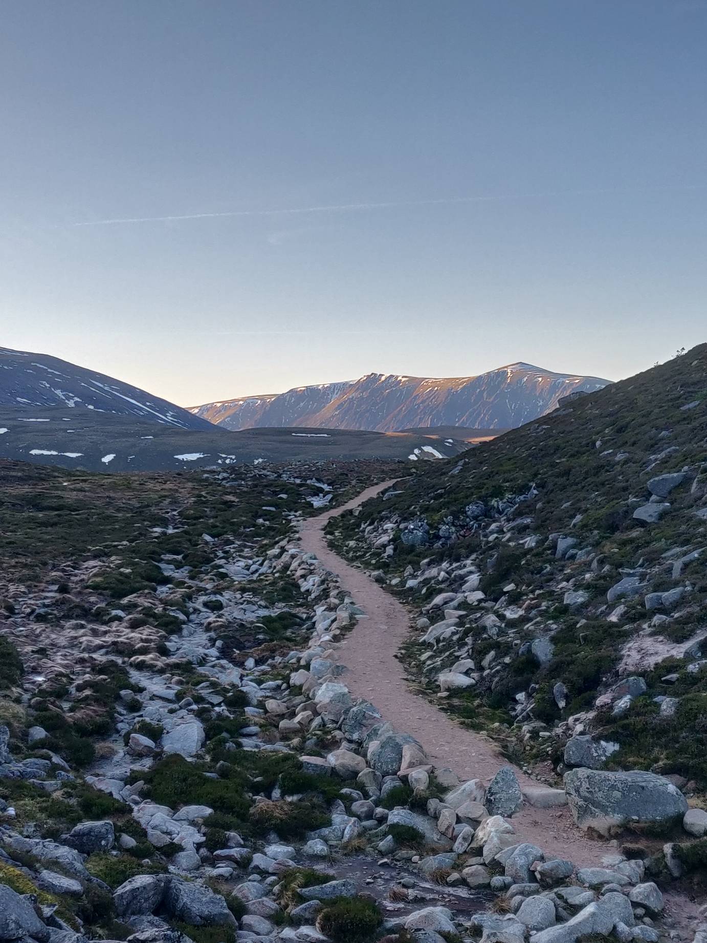
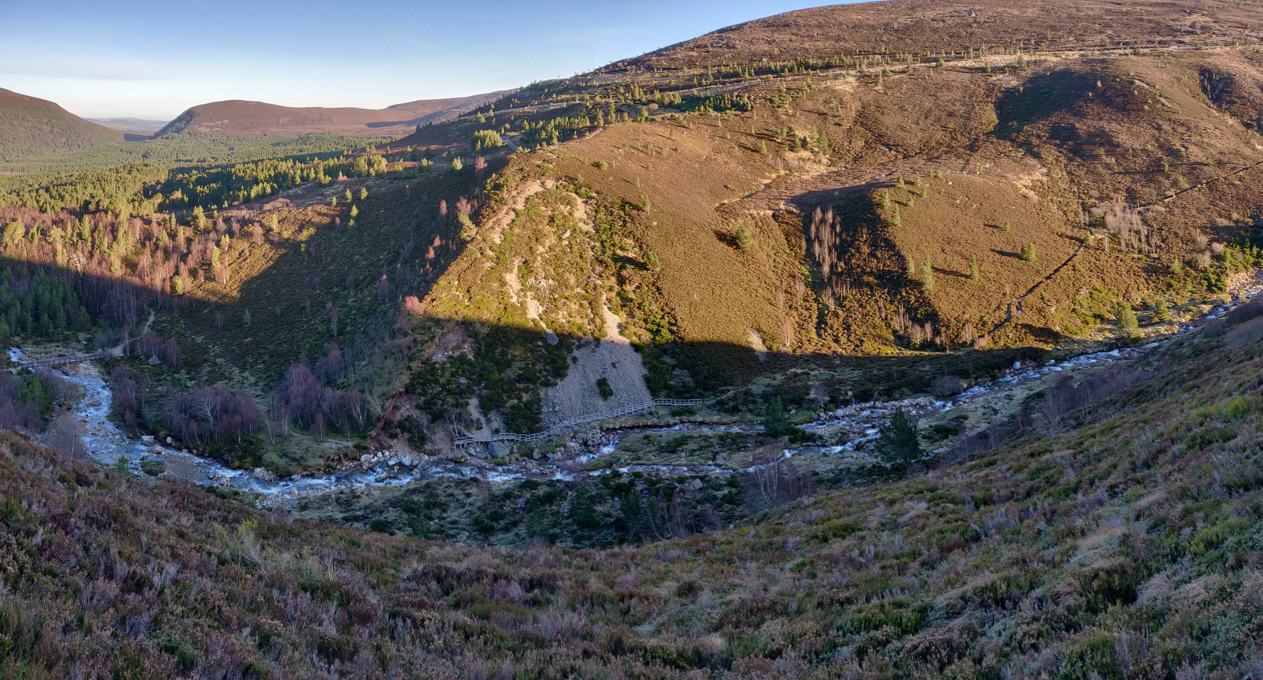
This route is a very diverse path – rocks, steep valley and flat heath. I would suggest caution during the winter months as there were many patches of ice. There are also stone drains (about 10cm across) that criss-cross the path, so be careful of that too when walking.

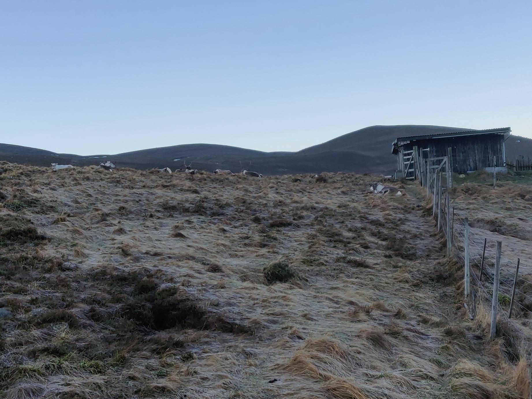
The route goes up the valley next to the car park past a reindeer enclosure and follows the west side of the valley.

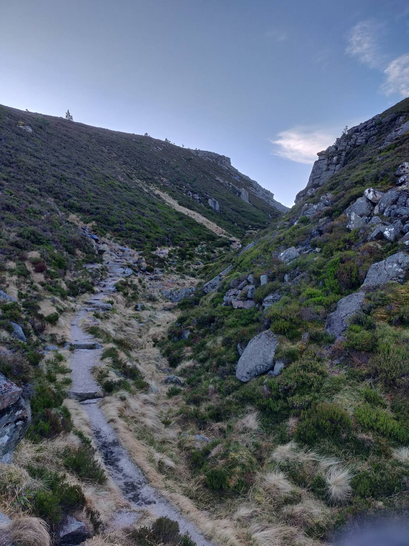
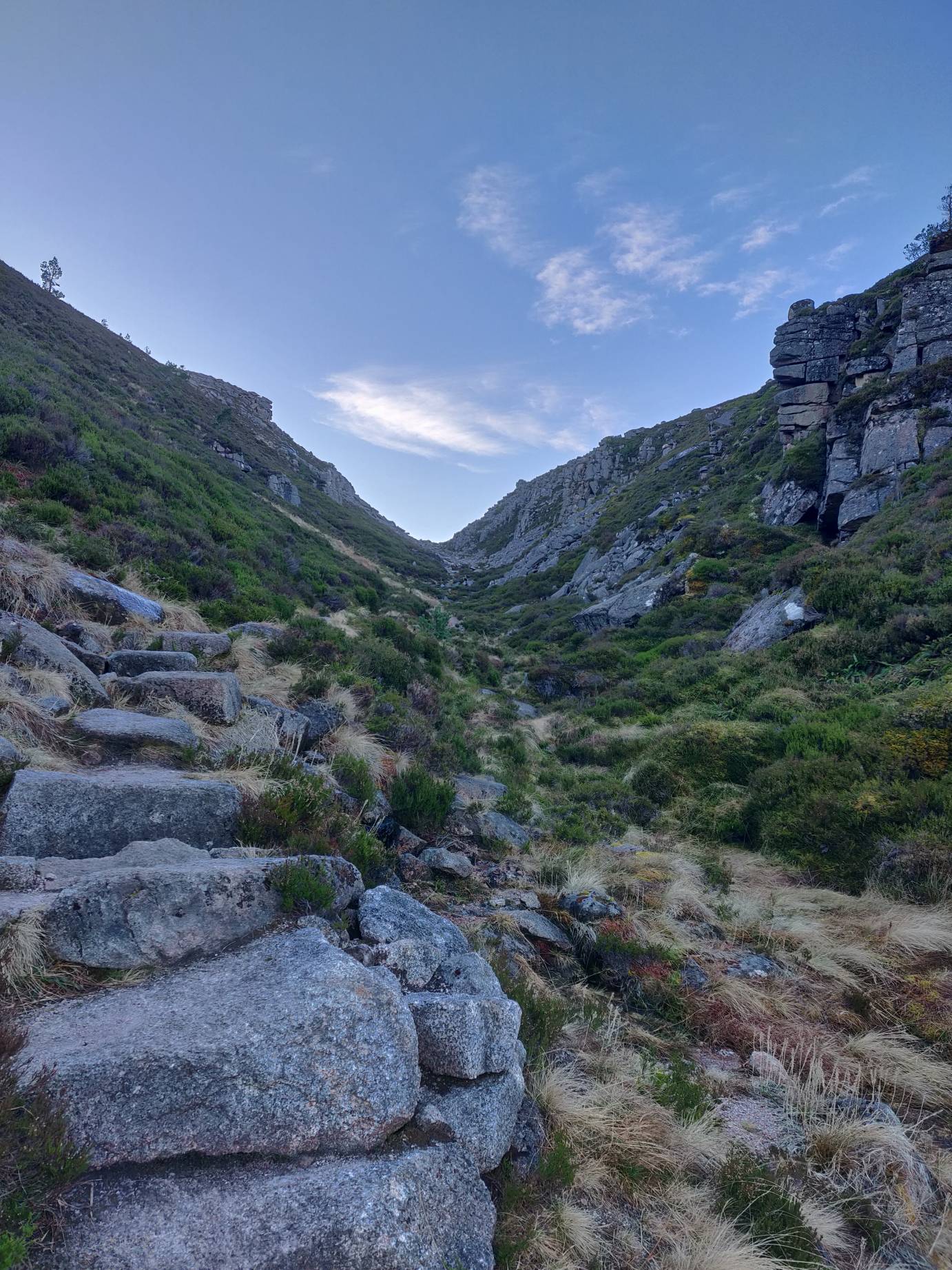
Eventually it comes to a rocky pass. You’ll need to be careful if you go through it, as it is quite a scramble over the rocks. There is an alternative path that goes up beside the pass, you can see it on your left just before you head in.
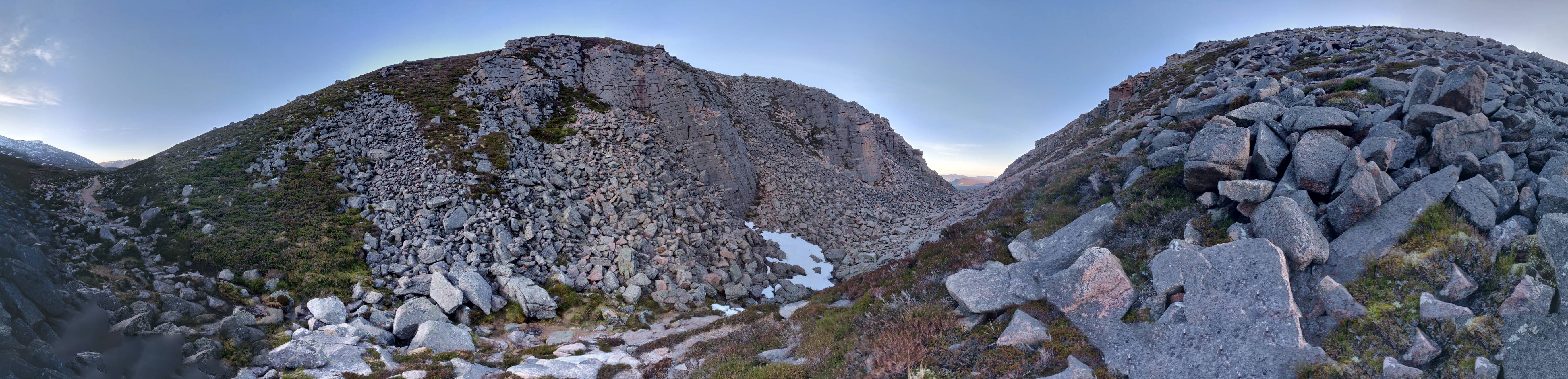
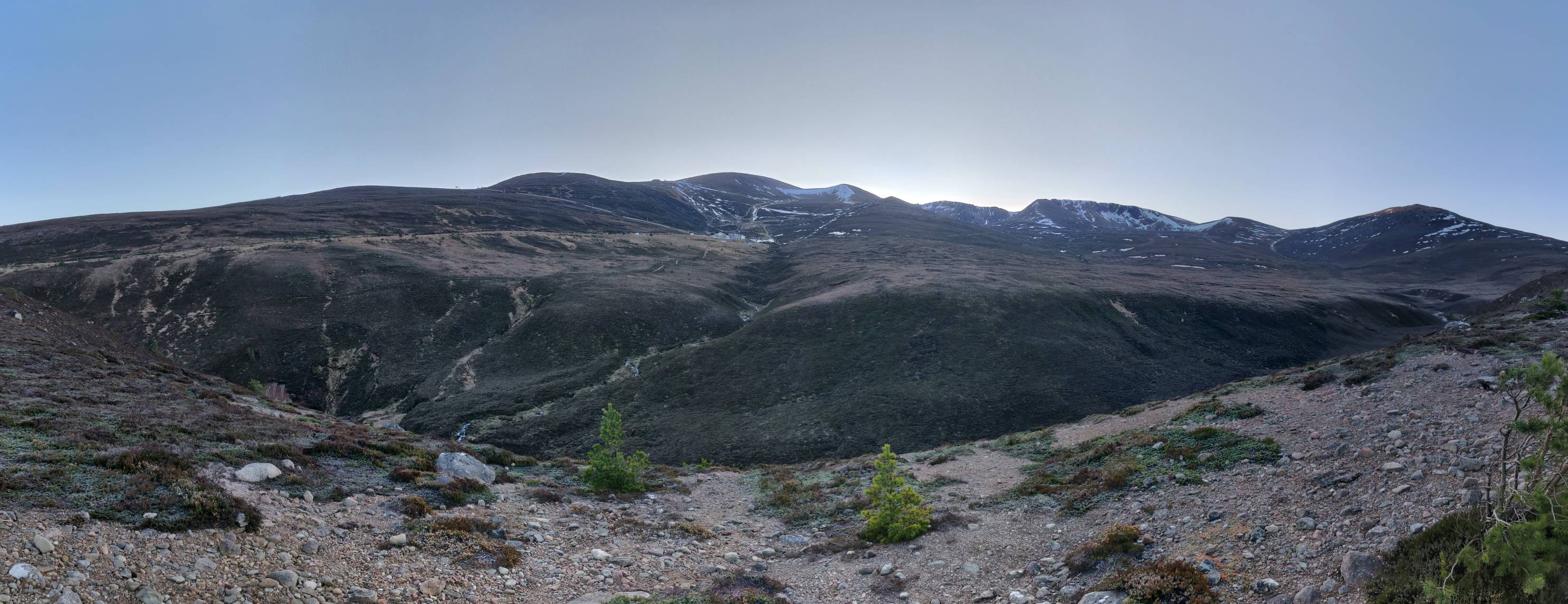
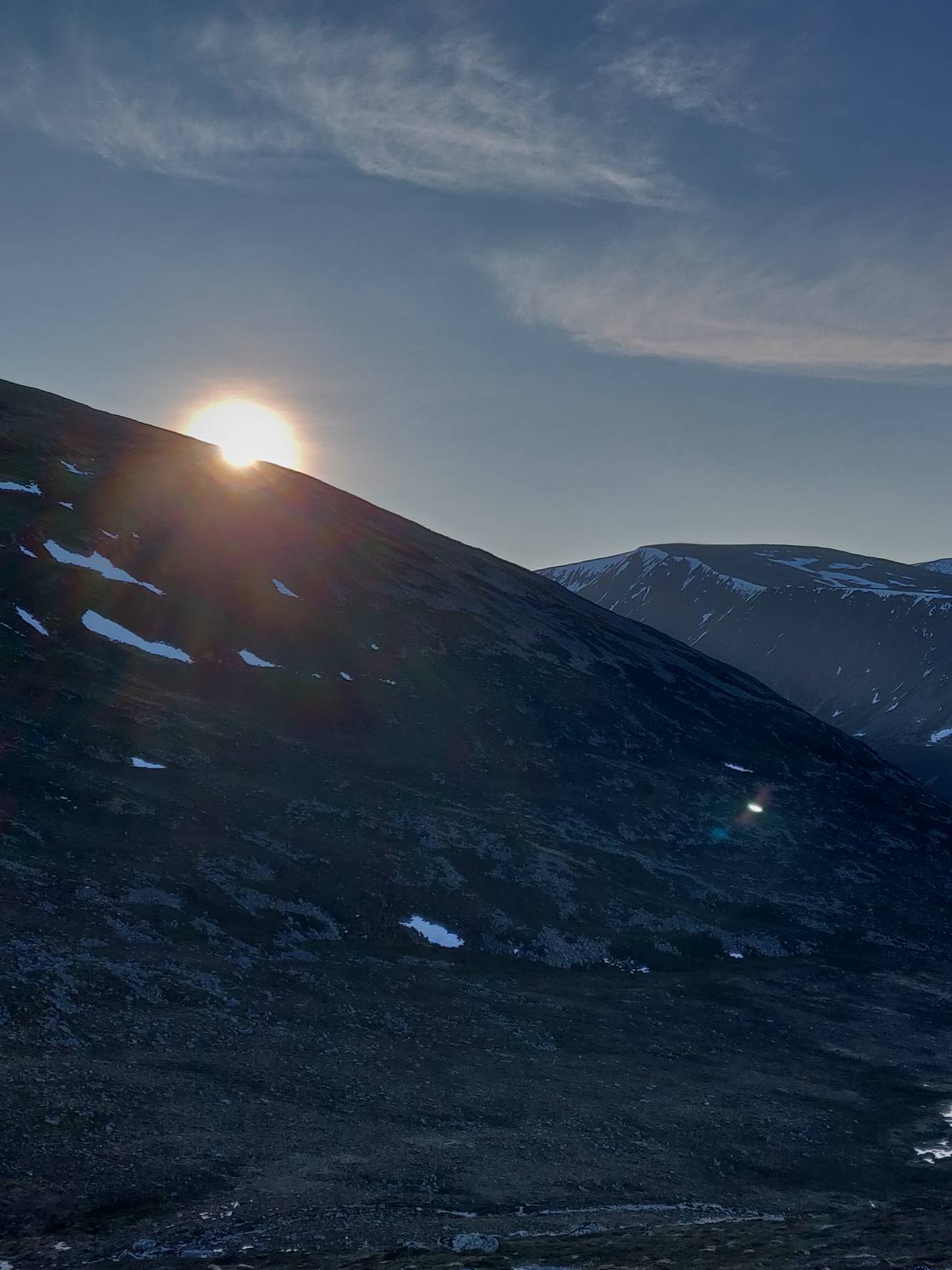
After this, the path diverges. You could continue on into the mountains, along the Lairig Ghru route, but that could take up to a full day to complete, if not more. Instead, we went up to the top of Creag a Chalamain (837m asl). The views from up here are fantastic, possibly better than yesterday’s climb. You can see all the way around, with the mountains to the East and South, Loch Morlich to the North, and Aviemore away to the Northwest.

The walk back just follows the same route. Overall it took me about 2.5 hours. Another walk I would definitely recommend. Near Loch Morlich there are loads of other walking routes, and a lot of them are also bike accessible.
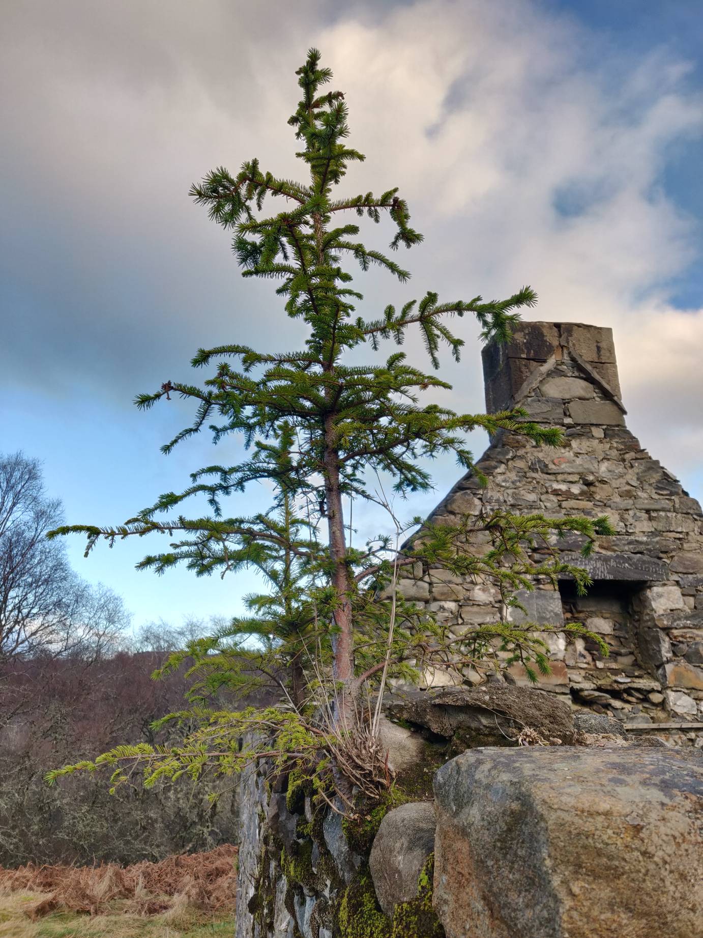
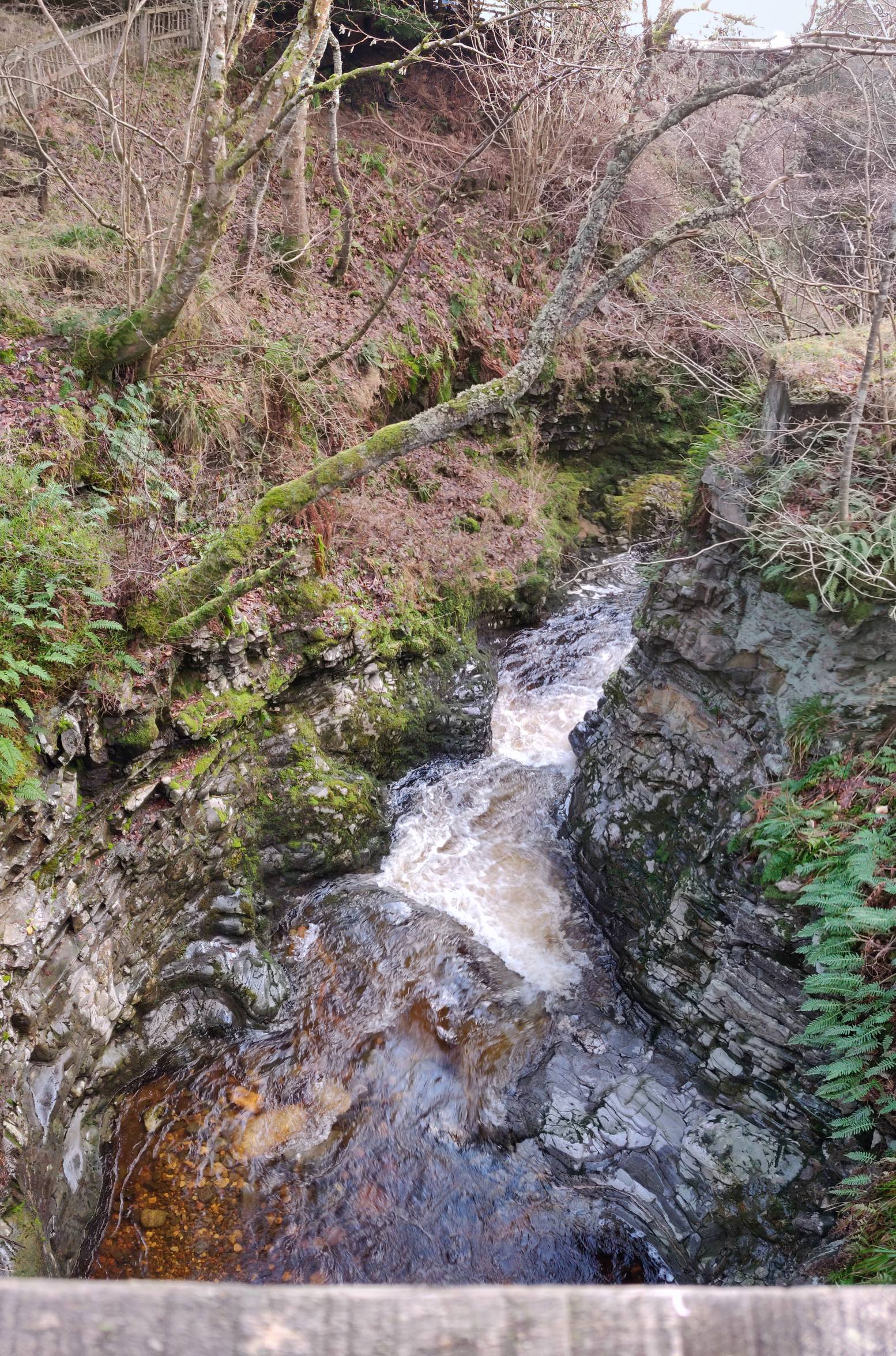
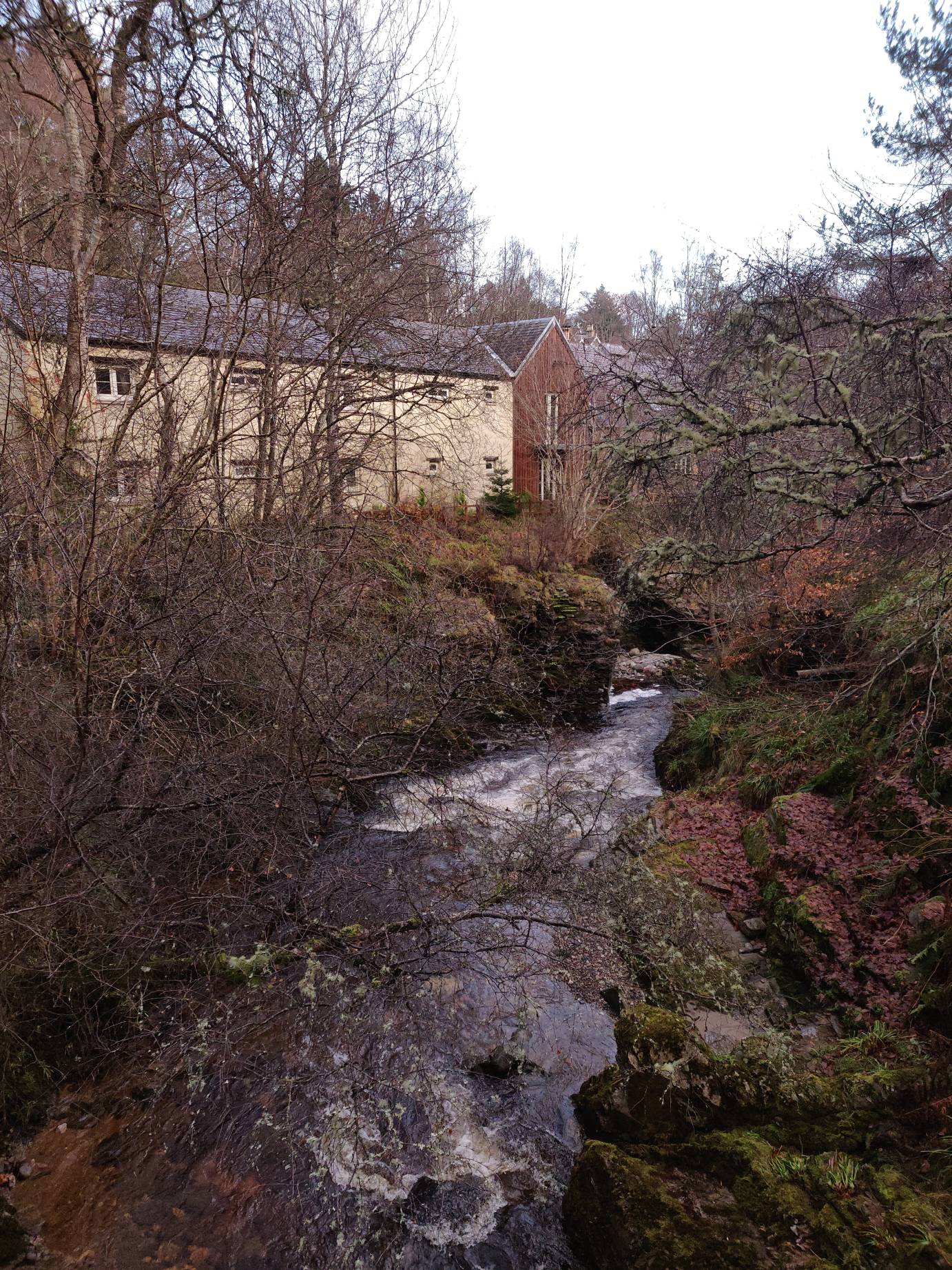
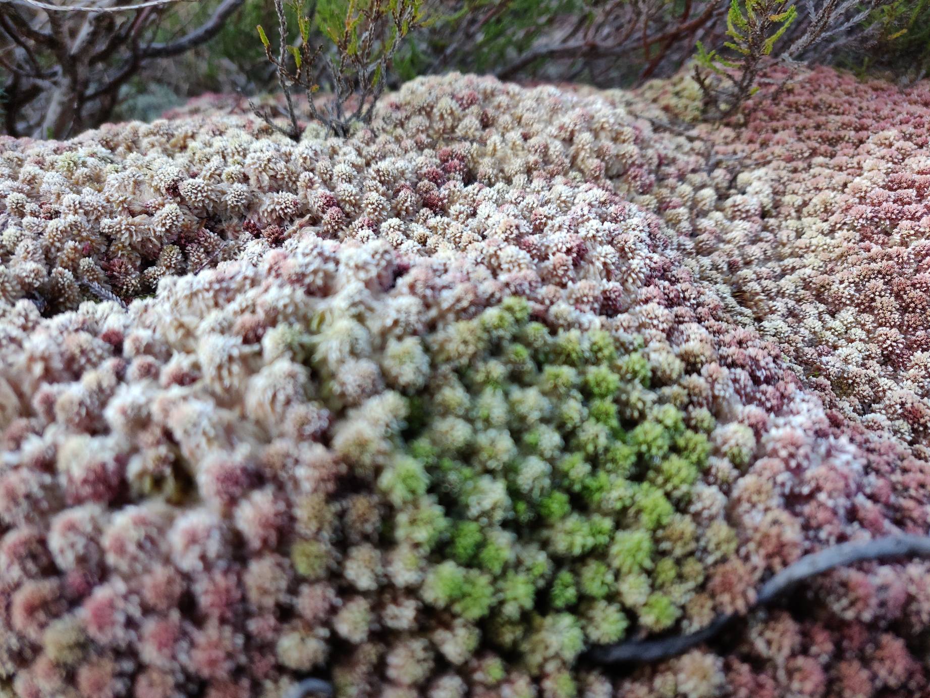
Extra Photos

Eateries & Stuff Nearby
Bruar
If travelling up or down the A9, you may want to visit House of Bruar. It’s an up market shopping type place. It has a fish and chip bar, which is incredibly busy, and probably not worth it.
I would recommend visiting the Falls of Bruar – this is a trail that goes up into the mountain behind the house and has views of some large waterfalls.
Kingussie High Street
There are a number of small cafés on Kingussie High Street you could stop by if you want a drink of breakfast. I’ve visited the Sugar Bowl, and Pam’s Coffee Shop. Nice just before or after a walk.
Aviemore
If you’ve just finished a day’s walking, I’d recommend visiting La Taverna – an Italian buffet just at the south edge of Aviemore. Good food and all you can eat.
Behind Aviemore there are a number of trails that go into the mountain. You’ll need to negotiate your way past the A9 though – there are a number of underpasses. Throughout autumn you’re able to find plenty of edible mushrooms, if you know what you’re looking for.
Happy New Year for 2020!
All images in this post are owned by me, available under CC-BY-SA-4.0
What a great adventure! I really like photos with the old stone buildings in them. Thanks for sharing your trip with us!
David.
It’s nice to come across unexpected old things when on a walk.
An wonderful vacation. I must say, I am envious. You got to see some awesome country.
Some beautiful photos too!
Cheers