I had previously shared a cycle route around Glenrothes. This time, I’m going to share the route around the Lomond Hills Regional Park, passing via the Reservoirs.

I had originally intended to publish this in late summer of last year, when I took the photos, but it seems I never did. Better late than never, I guess…
The Route
I cycled this route quite early in the morning, starting just before 7am. That way I can avoid the traffic, as I do need to cycle on some roads. In the summer, this also helps you to avoid the brunt of the sun’s heat.
Park Start
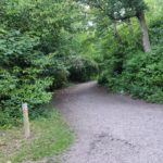
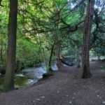
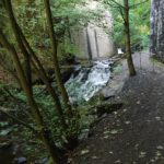
My route starts in Riverside Park, Glenrothes. I took the woodland path through the park, past the waterfalls into Leslie. This is a nice path by the river, though the waterfalls can get quite loud when the river is full.
After exiting this path, and hanging right, you follow a route past the electrical substation. Not pictured here as it’s not very photogenic.
Leslie
This part of the route overlaps slightly with the start of the aforementioned route around Glenrothes, and passes through Leslie.
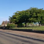
This is the only part of the route that is liable to have lots of traffic if you’re passing it later in the day. There is a pavement you can use if you prefer. The route passes mostly through the northernmost part of Leslie, following the road out to Loch Leven. Just after exiting the town, take a left to go to the reservoirs.
The Reservoirs
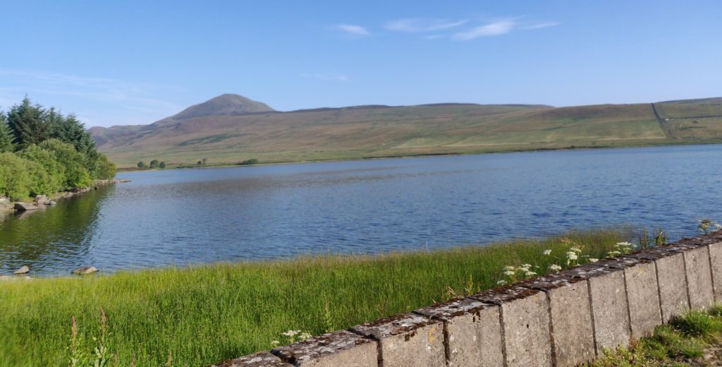
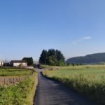
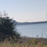
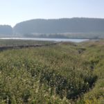
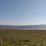
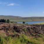
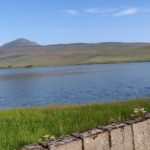
These are 4 reservoirs owned by the scottish water authority, and you can fish if you get a permit. It makes for quite a nice view.
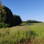
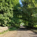
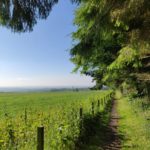
The path goes right into the Lomond Hills Park. This is active land used for forestry and sheep, but as long as you act politely, keep to the path and give any animals enough time to escape you to where they feel safe, you are fine to cycle along here.
There are unfortunately a few gates (designed to stop illegal fishers I suspect) that are not bike accessible, so you may need to dismount for these.
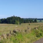
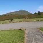
Looking north you can see both the West and East Lomond Hills.
East Lomond
After leaving the path from Harperleas Reservoir, you will end on a road leading to Craigmead car park. If you wish, you could continue to Falkland, or go up the West Lomond. My route goes up the east.
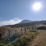
This can get quite steep at the start, and is steep if you want to cycle all the way up to the top. There is a route around the bottom of the tip that is more bike-friendly. On the other side there is a car park space and the route back down to Glenrothes.
If you look around the top of this area, on a good day you can see all the way across the Firth of Forth to Edinburgh and the south of Scotland. Unfortunately, on my cycle there was too much early mist to see clearly.
Descent To Glenrothes
The descent can be quite steep, but is doable on a bike. If you make liberal use of your brakes, of course.
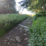
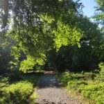
The descent passes through some woodland and through some forestry commission land. Worth mentioning is that this path has some uneven ground, so be careful. The woodland area is a nice place despite this.
the route continues down through to Fortmonthills where I come to an end. You can continue on as per the route linked at the start of this blog post, or continue south and reach the centre through Riverside Park.
Map & Stats
The route is in red on the map, with photo locations denoted in blue:

Total Distance: 16.9 Km
Time Taken: 1.5 Hours
Imagery other than Mapping Data belong to LonM, CC-BY-NC-4.0

My guess is that you posted Harperleas Reservoir in A FAVORITE PLACE a year ago. Thanks for sharing.
Like the rest of Glenrothes, Collydean used to boast a number of sculptures scattered among much of the housing in the area, these having now been relocated to roundabouts or road sides. – Wikipedia
Photos of said sculptures would be nice.
Taking nice pictures might prove tricky, due to where they are placed, but that sounds like an interesting project if I ever find myself with nothing to do on a weekend with good weather.